A boundary dispute occurs when two owners, often who share a boundary line, or border one another, have some form of disagreement in respect of the location, direction, position or placement of the boundary.

In many cases a neighbouring owner made aware of an alleged boundary issue can often find themselves surprised that their neighbour has a differing opinion on the boundary position.
First and foremost, the two respective neighbours should always aim to try and resolve the matter. In many cases resolution can significantly aid neighbourly relations while also reducing and avoiding the formal procedures and costs that can follow through a boundary surveyor’s input. However, if all else fails and one of the property owners feels as if they need professional input, they will need to call in a boundary surveyor.
The boundary surveyor’s role will be to look at the matter in dispute and provide their professional opinion, aiming to help resolve and determine.
They will do this through a combination of comprehensive site inspection, followed up by desktop research.

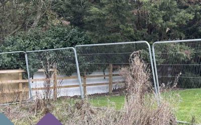
The site inspection will encompass a number of different activities, including measurement, whereby the surveyor is going to measure various different parts of the property or boundary to aid their understanding of the facts.
The surveyor will also look for historic property datum points. This could be old fence posts, or other specific historic features they are able to locate.
Finally, the surveyor will undertake a wider inspection where they are likely to look at the entire plot or parcel of land, in many cases undertaking further measurement, looking for historic features or information that can help in determining the matter at hand.
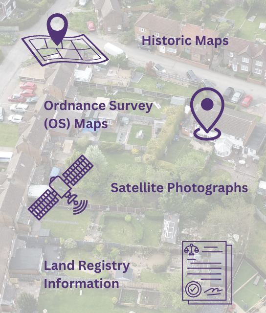
Post site inspection, the surveyor will undertake a comprehensive desktop analysis looking at various different information sources. This information will often include; historic maps, Ordnance Survey maps, satellite photographs, Land Registry information including both Title Plan and Title Deed, conveyancing plans, planning records, historic photographs and in some cases aerial photographs.
All of these information sources will provide an unparalleled insight into the lay of the land enabling the surveyor to make an informed assessment as to what their belief is on the boundary dispute.
If you require help with your boundary surveying matter and would like to speak to one of our surveyors, please feel free to get in touch with us today, we will be more than happy to assist and advise.