Boundary surveying and boundary disputes are unsurprisingly to most a conventional issue.
A boundary dispute will arise when the boundary or border which separates two respective properties comes under dispute by the respective owners who own the properties that form part of the boundary.
In the first instance, they can often arise as a result of historic issue. Equally, they can arise when some form of interaction or change to that boundary line takes place.
Commonly, this is replacing fences, undertaking construction works in the vicinity of the boundary, or rectifying a historic boundary issue.
The two owners at the proper point begin to engage and discuss the matter at hand. These discussions are commonly referred to as neighbourly discussions.
Neighbourly Discussions
Neighbourly discussions can go a significant way to resolving a potential boundary dispute before it arises.
It is also important to note than in many cases opening neighbourly discussions early will enable both respective owners to whom border the boundary in question to fully understand the others position and logic behind the misunderstanding.
While some owners will openly confirm that relationships between the neighbours had broken down and maybe discussion is no longer an application option, it is important to note that at some stage of the boundary dispute process, neighbourly discussions are going to need to resume and take place.
It is therefore important to try and set the non-boundary issues to one side, and aim to discuss in the effort of resolution.
In the scenario whereby neighbourly discussion is no longer possible, at that stage the only realistic option that the two respective neighbouring owners have is to progress down the process of constructing a single joint boundary surveyor, or alternatively respectively appointing their own boundary surveyors.
Boundary Surveyor Instruction
Once a boundary surveyor has been instructed, they are going to methodically and carefully consider the dispute and matter at hand in respect of the boundary matter.
Boundary Surveyor’s On Site Inspection
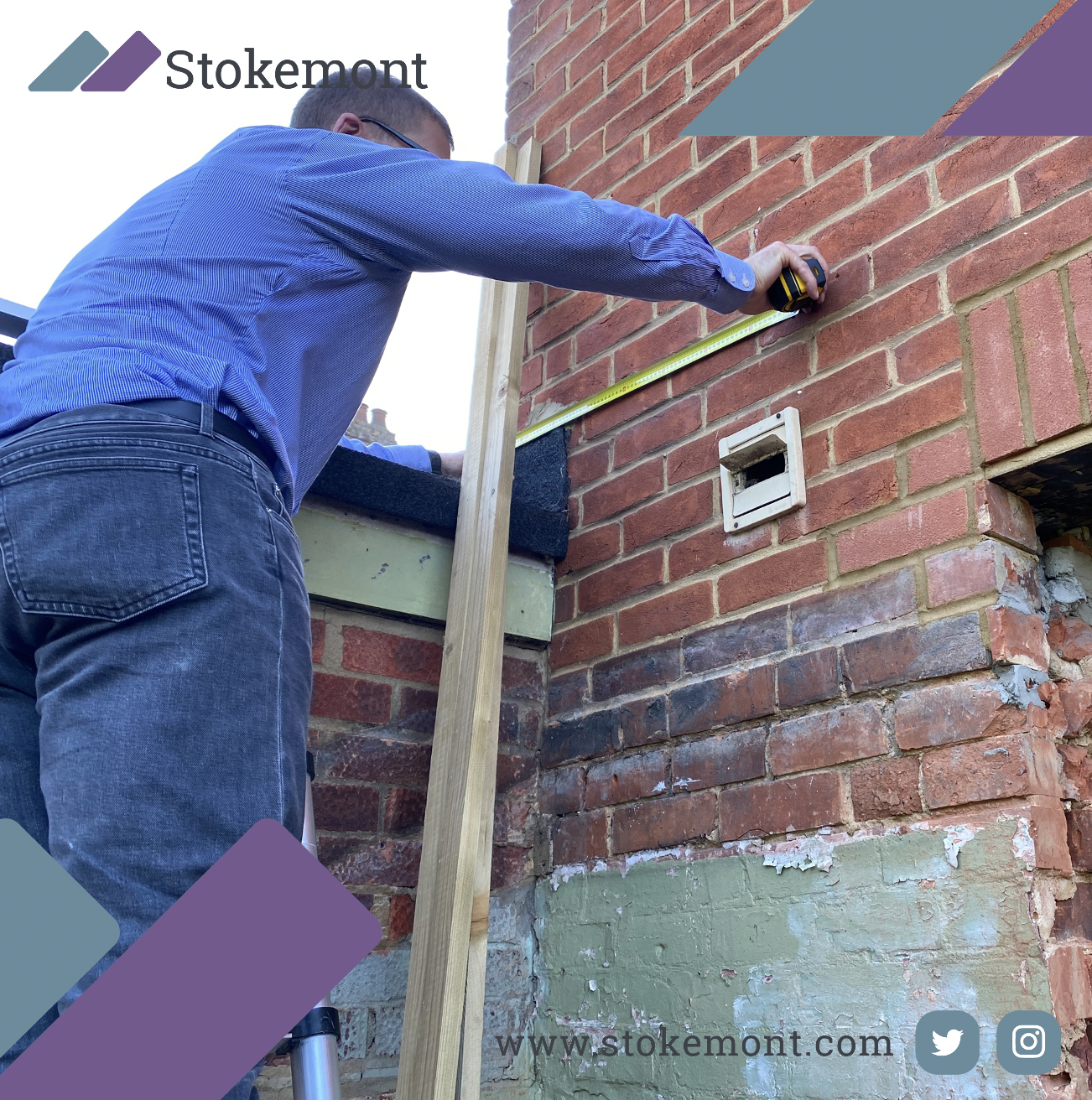
The first starting point will be for the boundary surveyor to undertake a site inspection of the property and fully accommodate themselves with the boundary line and lay of the land.
This inspection is very much a probing exercise, the boundary surveyor is not only going to listen to his client’s concerns and understanding of the boundary line, the boundary surveyor is also going to fully assess, likely taking measurements and informed inspection.
This exercise in an effort to try and cut through those issues which are relevant to the boundary dispute and those that are not.
Boundary Surveyor’s Desktop Assessment
Once the boundary surveyor has been to site and fully accommodated themselves with both the boundary and the lay of the land, they are then going to undertake the second part of the process which is the desktop assessment.
This assessment is going to look at information far and wide, and will effectively see the boundary surveyor reviewing anything that can shed light onto the historic boundary line position, and any change that has taken place over the tenure of that boundary’s life.
Information that will be considered includes items such as:
- Conveyance/transfer plans
- Land Registry Title Deeds
- Land Registry Title Registers
- Land Registry Title plans
- Property leases
- Planning records
- OS maps
- Historic maps
- Google street view
- Bing maps
- Client-provided photographs
All of this information will not only give the boundary surveyor a better picture and understanding of where that boundary should be, it is also going to give them a full understanding as to how the current boundary set-out interacts with that.
Once the surveyor has completed the desktop element of the instruction, they will then move onto preparing the boundary surveyor’s report.
Boundary Surveyor’s Report
The boundary surveyor’s report is going to set out the boundary surveyor’s opinion and position on where that boundary should be.
This is likely to be referenced against photographs and/or any of the information that the boundary surveyor has assessed in order to formulate and arrive at their position and opinion.
The boundary surveyor will then compile the report and send this off to the client for their attention.
Unfortunately, with boundary surveying, there can be scenarios whereby the client will disagree with the boundary surveyor’s assessment and outcome.
In the scenario that this arises, the client has a couple of different options open to them, the first being that they can seek a further boundary surveyor’s opinion to confirm if indeed the original boundary surveyor had misunderstood or misrepresented the facts.
The second to go through the surveyor’s Complaints Handling Procedure, also known as a CHP within the industry.
In the scenario that the boundary report is favourable to the boundary surveyor’s client, in that instance, the boundary surveyor is likely to advise the client to share the report with the neighbouring owner, in an effort to aid further discussion, and ultimately neighbourly resolution.
This will not only avoid the need to go to Court, it could go a long way to safeguard, or in some instances repair, any neighbourly dispute that has arisen.
Boundary surveying is one of the typical services that our team of experienced and qualified RICS surveyors undertake here on a daily basis. We have been lucky enough to work on the conventional houses such as a mid-terrace, terrace or semi-detached, all the way to your unconventional properties such as a 14th century church.
If you would like to discuss how Stokemont boundary surveyors can be of assistance to you, in respect of your boundary surveying matter, please feel free to give us a call today, or pop us an email, our surveyors will be more than happy to assist and advise you.


