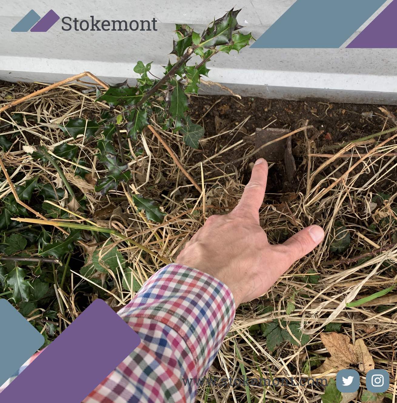
In today’s property surveying blog posts topic come up we are going to be looking at boundary surveying and in particular the importance of historical markers.
Historical markers are a fantastic and unparalleled marker, that when located can significantly assist in determining boundary lines and planes.
We hope you enjoy reading this blog post, we have tried to make it as simple and easy to follow as possible!
A boundary survey is a procedure by which a boundary surveyor establishes the boundaries or edges of a piece of land or estate.
This procedure is commonly required when there is a dispute between two neighbouring parties.
Before every having a boundary surveyor visit the property, here at Stokemont we would always recommended that you try and discuss the matter directly with your neighbour in an informal manner as this can often enable resolution to prevail.
If a discussion with your neighbour doesn’t go to plan, a boundary surveyor can be brought in to take an impartial and objective approach to determining the position of the boundary.
In order to determine the boundary, the boundary surveyor will carry out extensive desk-based research as well as a thorough on-site investigation.
The desk-based research commonly involves, however is not limited to, reviewing:
- Historical Maps
These can be a vital part of determining a boundary line. By looking back in time, you are able to identify the original boundary line which is something that rarely changes.
- Aerial Photos
These photos can provide you with a great perspective of the boundary line. From these photos you are able to identify the current location, plane and direction of the boundary line.
- Satellite Images
The use of services such as Google Maps or Bing Maps can prove to be a great tool to establish the location and plane of the current boundary. However, due to the poor quality of these images it is a limited tool.
- Land Registry Information
The use of both the title deeds and plans can prove to be a vital tool in determining the boundary line. The titles contain a map which is an excellent and unrivalled indicator of the boundary line.
- Planning Records
When submitting a planning application, scaled drawings and site plans are required. It is common that these will show the boundary line and provide an excellent benchmark for the boundary position.
- Historical Photos
These can be an excellent indicator as to where the boundary line is positioned. It is advised to look through your photos where the boundary of interest is visible.
Once the desk-based research has taken place and all these methods have been utilised, the surveyor will then carry out a thorough on-site investigation to determine where the boundary line is situated.
When carrying out the on-site investigation, one of the boundary surveyor’s primary objectives will be to locate and identify historical markers on the property.
The logic behind this is that when the properties would have been constructed, these points would not have been moved and therefore provide great reference points when determining the boundary.
The historical markers found on site can also be referenced back to historical maps or land registry titles which can be pivotal in determining the boundary.
Here at Stokemont, our boundary surveyors will look out for as many historical markers as they can, this can include:
- Original garden walls
- Original garden fences
- Original garden fence posts
- Parapet walls
- Original soldier course bricks
- Unchanged parts of the property
Once these points have been located on site, the boundary surveyor will then be able to create temporary datum points to work out if there is any trespass, or if a boundary surveying issue exists.
If it is not possible to locate historic markers during the on-site survey, it can become difficult as it will make it impossible to reference back to historic maps or photos.
However, irrespective of the level of information, the Boundary Surveyor should always take this into account and ensure it does not hinder his or her professional input and opinion on the boundary dispute.
These types of outcomes are usually just a small bump in the road to the end result and determined boundary!
Once the boundary surveyor has determined where the boundary lies, they will produce a report and assuming this agrees with where you believe the boundary is situated you are then able to present the report to your neighbour.
If your neighbours still dispute the findings of the report – once you have presented it to them, it would then be appropriate for them to provide their own surveyors report. This would then mean that there are two points to the dispute and it is then simply a matter of narrowing down the dispute and agreeing the boundary position.
Boundary disputes can often be a highly stressful I want you to get to matter, and therefore we would advise seeking the input and advice of a experienced boundary survey as soon as possible, as ultimately that will ensure that you are well positioned, informed and placed in respect of the neighbourly dispute.
If you would like to discuss how our boundary surveys can be of assistance to you with in respect of your boundaries surveying matter, or boundaries dispute, give us a call today and we will be more than happy to assist


