In this week’s property blog post I will be discussing and explaining what a boundary dispute is, how they arise and how they can be resolved. This blog will also look into what goes into a Boundary Determination Report which is usually the mechanism used to help resolve these neighbourly disputes.
Before advising on the specifics of a boundary dispute, it is important to understand what a property boundary is in relation to properties.
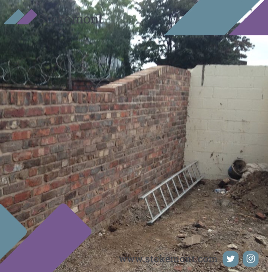
A boundary line is the line that separates one owner’s property from another. This can be in the form of a legal boundary line, which is the line indicated on Her Majesty’s Land Registry (HMLR) Title Deeds and Plans. It can also be a physical boundary line or separation which is usually some form of physical feature between two properties. Commonly this will be in the form of a fence, hedge or wall.
Boundary Disputes can arise for a number of different Reasons
Some of the common disputes that may arise are:
- When a property owner would like to carry out a house extension works and their understanding of where the boundary is differs from where their neighbours believes it to be.
- When a neighbour has recently completed an extension to their house which has encroached over the supposed boundary.
- If an existing timber fence has been moved.
- Adverse weather conditions have damaged and moved fences.
- Neither of the two neighbours know where the definitive boundary is and would like a record of this.
When advising on a boundary dispute, we try to obtain as much information about the properties as possible. Information such as the type of property, whether the boundary wall Is timber or brick, who the boundary wall belongs to (if known), if any alteration/extension work has recently taken place.
The purpose of obtaining as much information as possible is to build a picture as to what the dispute may contain to be able to advise in the best way possible.
Following this, a site visit is necessary to physically understand the disputed area.
As a boundary surveyor there are some key points to look out for when on site, for example any historic features such as old posts give a good indication as to where the true boundary lies. Further points of consideration can be the mid point between a parapet wall/window sills using a measuring tape to gauge the accurate distance, a string line to highlight and configure the boundary in relative to the parapet wall/window sill and markers to plot the distance on the physical structure to aid the investigation.
Once a site visit is completed, it is important to carry out extensive research on the properties in question, some of the information we look at include Land Registry Title Maps, Planning documents, Google Street View, Google Earth, Historic and OS Maps to name a few.
Information from these tools in connection with our on site investigation will give us an indication as to where the correct boundary should be, we can then fully advise the client and let them know our take on the dispute!
If you would like more advice about Boundary Disputes, or are potentially facing one, we would be happy to assist, feel free to give our team of surveyors a call now.


