In today’s property surveying blog post topic, we are going to be taking a look at boundary surveying and the procedures that surround a boundary line’s location and determination.
Boundary surveying is required when a property owner or land owner requires a boundary surveyor to locate and determine a boundary line.
The boundary line that is being determined can either be in dispute, commonly with another owner who borders it. – Alternatively, it could just be that the property owner requires clarification and confirmation of where the boundaries are so they can ensure that they have a full understanding of the curtilage of their land.
This is usually required if an owner is going to be undertaking some form of construction that interacts with the boundary.
In knowing where the boundary lies, they will be able to ensure they can undertake works on the full curtilage of their land, usually up to the boundary line.
When it comes to determining boundary lines, the first point of call would be to call in an experienced boundary surveyor. The boundary surveyor’s role would then be to combine a historic or desktop review of the property, along with a robust and thorough on site inspection.
We are going to take a look at what both of these elements of the service cover and the type of output you can expect to find post a boundary surveyor’s input.
To start with, the boundary surveyor will take a full assessment of all information that is available in respect of the property. This can include, however is not limited to:
HMLR Title Plans and Deeds
Her Majesty’s Land Registry Title Plans and Deeds will effectively set out the legal ownership and in many cases, the extent of that legal ownership in respect of the properties.
It will also contain any restrictive covenants, land restrictions and other valuable information that is only available through purchasing the information.
This will give the boundary surveyor an unparalleled understanding of the historic context in which the property exists, aiding in the resolution of the boundary dispute at hand.
Historic Maps
As part of the boundary surveyor’s role, they will take a full and thorough look at all historical maps that they can get their hands on.
In many cases, this can cover maps right before the construction of the property itself, and effectively the boundary surveyor will then trace or step these maps back to the most recent available.
This will give an unparalleled assessment of what exactly has happened to that boundary over the tenure of the property’s life, in many cases aiding in the resolution of the boundary dispute at hand.
Aerial Photographs
Aerial photographs can form a valuable link between historic information and findings, and the new position of any boundary at the property itself.
Historically, boundary surveyors used to have to purchase aerial photographs from aerial photograph providers.
However, with the introduction of satellite mapping technology such as Bing Maps or Google Earth, this is no longer required. Now, boundary surveyors can very easily get a full and thorough assessment without the need to wait for aerial photographs to be drawn from the service provider’s archive.
Planning Records
Planning records can again form a valuable insight into the history of the respective properties. While boundary lines are never accurately indicated on planning records, they do, and can, still show an understanding of where the boundary should be.
Not to mention, they can also provide insight into structures that stood in the past, in many cases aiding in the boundary dispute and boundary lines resolution. Once the boundary surveyor has a full understanding of the desktop element of their instruction, at that stage they will then undertake a full and thorough site inspection.
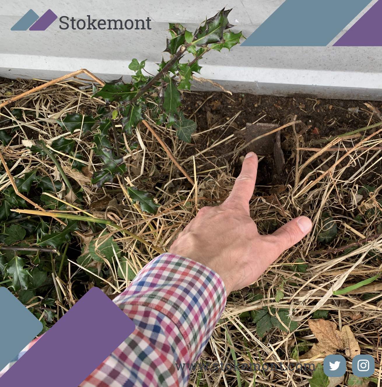
The site inspection will see the boundary surveyor walk the boundary line, usually step by step and over multiple occasions.
To start with, the boundary surveyor will be looking for historic markers and points of reference. However, they will also be looking for anything that jumps out as befitting to the resolution of the matter at hand.
Once the boundary surveyor has an understanding of the lay of the land, they will then usually attempt to mark or map it out on site.
Whether this is done with lasers, tape measurement, string lines, pins and posts, or any other form of boundary marker and demarcation, the ultimate aim will be to profile the boundary line on site.
Boundary disputes can be inherently complicated. Over the years that we have done these at Stokemont, when we say there are no two boundaries alike, we cannot stress this enough.
Boundary reports are equally custom and specific to each and every instruction we do, and in many cases the simplest of job at the desk can often become most complicated on site. Vice versa, the most complicated boundary line at the desktop can pleasantly often be relatively straightforward for the surveyors on site.
At Stokemont, we are very proud to have assisted thousands of boundary surveying clients over the past few years, and help and aid them in boundary dispute resolution.
If you would like to discuss how our team of qualified and experienced boundary surveyors can be of assistance to you, give us a call today and we will be more than happy to assist and advise you.
Thank you very much for reading. We would advise that you take a look at some of our other boundary surveying blog posts, as these can often go a long way to fill in any gaps in your knowledge, whilst ultimately you are also ensuring that you fully understand the matter at hand prior to the instruction of a boundary surveyor.


